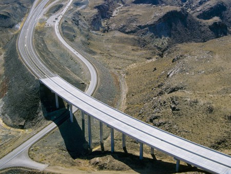
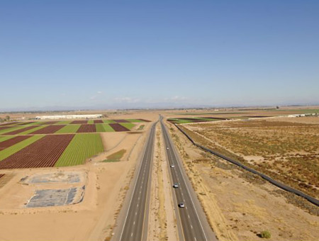
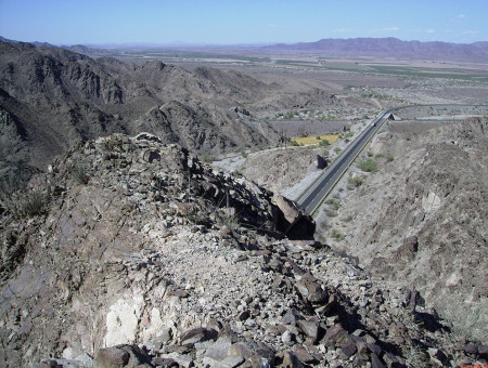
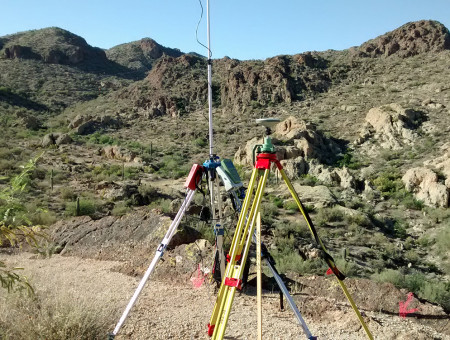
AZTEC provides comprehensive surveying, right-of-way and mapping services to agencies and private clients. We use the latest technologies and equipment to deliver complete, high-accuracy data with short turnaround times. From congested urban freeway surveys to rugged rural mapping, we successfully mitigate challenges by our routine practice to understand our client’s concerns and address them as though they are our own.
Our survey expertise includes:
- Surveying and Mapping
- Aerial Mapping Control and Airborne GPS Solutions
- Topographic Surveys
|
- Boundary Surveys, ALTA Surveys
- Construction Staking
- As-Built Surveys
|
- Right-of-Way and Easement Design
- Legal Descriptions
- LiDAR
- 3D Laser Scanning
|
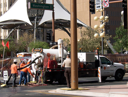
AZTEC remains on the cutting edge of the industry’s SUE developments to deliver superior products. By combining state-of-the-art equipment, up-to-date training and a philosophy rooted in quality control and customer service, we are a leader in SUE services. AZTEC has successfully completed numerous projects involving more than 50,000 potholes and hundreds of miles of utility line designation. We adhere to stringent processes developed in accordance with ASCE C-I 38-02, Standard Guidelines for the Collection and Depiction of Existing Subsurface Utility Data.
Our SUE expertise includes:
- Utility Designating (Mapping)
- Utility Locating (Potholing)
|
- Private Utility Locating
- Ground Penetrating Radar (GPR)
|
- Vacuum Excavation Services
|
For more information on SUE, click here.